Hiking Trail
Route profile
Notice
In the tour planner we inform you under the tab "Current info" about temporary route changes, closures and detours.
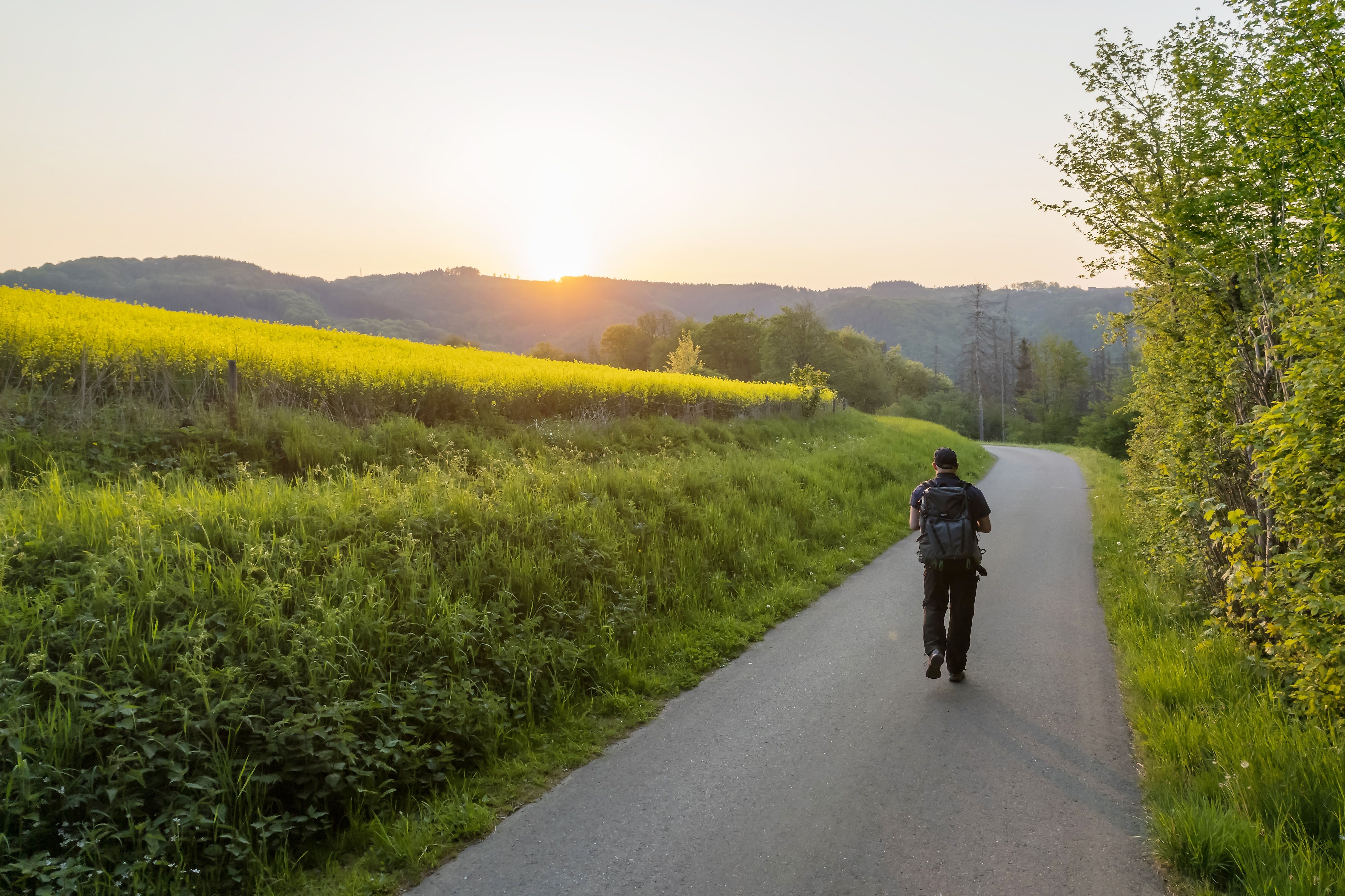
To the Tour PlanerOn this stage I follow the course of the river Wied in the middle Wiedtal through a varied hiking area. The starting point is Neustadt an der Wied, the southern part of the Asbach plateau in the Rhine-Westerwald Nature Park and the central town on the middle course of the Wied. There it is worth visiting the parish church of St. Margarita, built in neo-Gothic style, with a baptismal font from the 14th century. From the village of Eilenberg, the center of the Wied, it is 51 kilometers each way to the source in Linden at the Westerwald lake district and to the mouth in Neuwied on the Rhine. From Neustadt, the route goes uphill and downhill through the Rhine-Westerwald Nature Park and the fauna-flora-habitat area "Felsentäler der Wied" to Arnsau. After crossing under the highway, the route changes banks and leads me past Wiedmühle to the ruins of Altenwied Castle. Its pentagonal keep welcomes me on a rocky spur above the Wied (no visit possible). Together with the WesterwaldSteig, the Wiedweg leads me to the Weißenfelser Ley. This vantage point opens up a unique view of the impressive Wied valley and the wooded slopes in various shades of green.
At the center of the Wied: natural beauty and wide views.
Via the A3 to the Neustadt/Wied exit and on to the town center
Train from Cologne or Limburg to Neuwied station, VRM bus line 131 to Neustadt (Wied), Margarita-Platz.
Return from Arnsau Ort, Dattenbergto Neustadt (Wied), Margarita-Platz: VRM bus line 131
www.bahn.de | www.vrm.info
Neustadt (Wied): free parking at Wiedpark,Raiffeisenstraße 9
Arnsau: free parking opposite Hotel Wiedfriede
For the fifth stage of the Wiedweg I need a good condition. From the street "Kirchplatz" I walk over the bridge of the Wied and follow the left curve of the street for about 100 meters. Then I turn left onto a natural path and walk parallel to the river for about 500 meters to the street "Krummenau". I follow this to the left for about 200 meters and then turn left again to cross the Wied once more. After 900 meters following the course of the river along the edge of the forest, I come across the L255 and shortly thereafter a gravel road, which I cross. I turn right into a natural path and follow it and the subsequent path for about 500 meters. I go under the A3, cross the railroad tracks and keep to the right until I come to a road, which I follow a few meters to the left, then turn into the next natural path on the right. My path leads me parallel to the Wied and past the villages of Steeg and Wiedmühle on the opposite side. After 400 meters I keep left, continue in the forest to its edge and keep right. After about a kilometer slightly downhill I reach the road to Kodden and follow it into the village. In the bend I go to the right and after 100 meters to the left around Kodden. The Wied runs on my right side. I follow it for about 1.5 kilometers to the L255 to Oberhoppen. After about 100 meters I turn left into a path and then follow the nature trail at the edge of the forest for about 300 meters until just before Oberhoppen. There I turn sharply left onto a path that leads me uphill for about 300 meters. I follow the gravel path to the left and walk along the forest for about 300 meters. Then I cross the K78, which leads to Strauscheid and walk on the other side for about 1.5 kilometers through wooded area. Then I turn right onto a natural path that turns into a path at the edge of the forest and after 1.1 kilometers I meet the Westerwaldsteig. I go to the right, after one kilometer again to the right and follow the nature trail through the forest, past Weißenfels to Weißenfelser Lei. There I go about 200 meters to the right and turn left towards Weißenfels. After 800 meters the village is behind me and I keep to the right, walk a bit through the forest, about 500 meters across an open area with a view of the Wied as well as another 1.3 kilometers downhill to my destination Arnsau.
Sturdy shoes recommended!
Hotel Wiedfriede, 53547 Arnsau bei Roßbach/Wied
In der Kirchwiese, 53577 Neustadt (Wied)
More information & GPX download
Notice
In the tour planner we inform you under the tab "Current info" about temporary route changes, closures and detours.
To the Tour Planer