Hiking Trail
Route profile
Notice
In the tour planner we inform you under the tab "Current info" about temporary route changes, closures and detours.
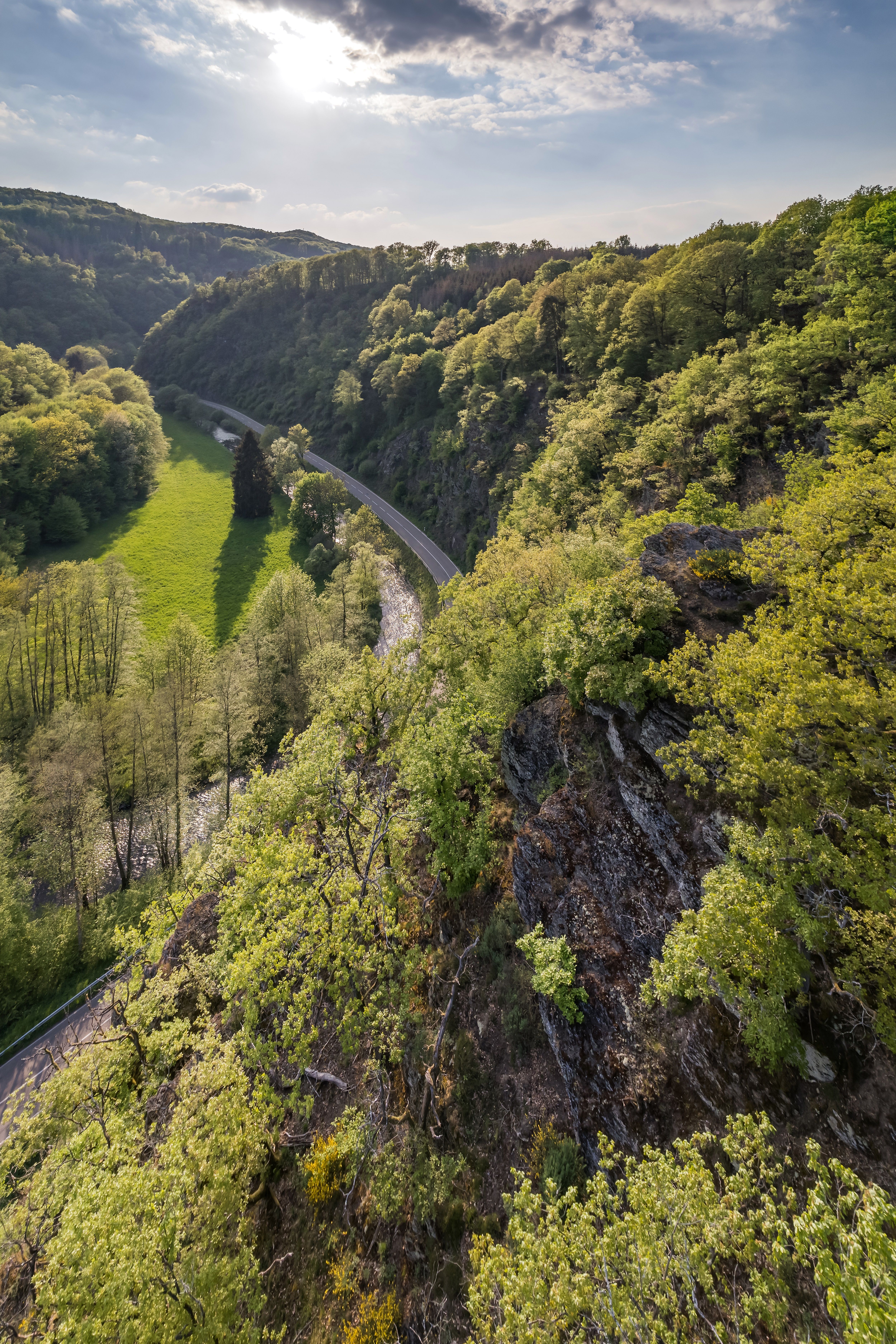
To the Tour PlanerThis stage of the Wiedweg leads through the Lahrer Herrlichkeit, a particularly picturesque section of the Wiedtal between Döttesfeld and Neustadt (Wied). The ruins of Burglahr Castle with its 25-meter-high round keep, the 34-hectare Bertenauer Kopf nature reserve, and Telegrafenhügel are the highlights along the way. I follow the Wiedweg on a former railroad track to Burglahr. Soon I recognize the castle Lahr on the other side of the Wied and a little later on the left of the way the Alvenslebenstollen. A former water solution gallery of the Louise mine with a length of 1.5 km and a dead straight course. Through a small illuminated railroad tunnel I reach directly behind Peterslahr the Mettelshahner Schweiz with the viewpoint "Mettelshahner Ley", which lies south of the castle ruin Ehrenstein. I reach it and the associated monastery via a short detour. The Kreuzherrenkirche has beautiful glass windows in the nave. High above the Wiedtal, on the slope of the Bertenauer Kopf, I enjoy the distant view. At 352 meters, the volcanic basalt cone is the highest elevation in the Neustadt district and is said to have been the only active volcano in the Westerwald.
The "Lahrer Herrlichkeit" lives up to its name.
A3 to Neuwied exit via B 256 to Oberlahr village entrance.
Train from Cologne to Altenkirchen station, VRM bus line 120 to Bürdenbach-Bruch.
Train from Limburg direction to Altenkirchen station, VRM bus line 120 to Bürdenbach-Bruch.
Return from Neustadt (Wied), Margarita square to Oberlahr (Westerwald-Treff, Bürdenbach): VRM bus line 125
www.bahn.de | www.vrm.info
Oberlahr: Hotel Westerwald-Treff,In der Huth 1, 57641 Oberlahr (free of charge)
Neustadt (Wied): free parking at the Wiedpark, Raiffeisenstraße 9
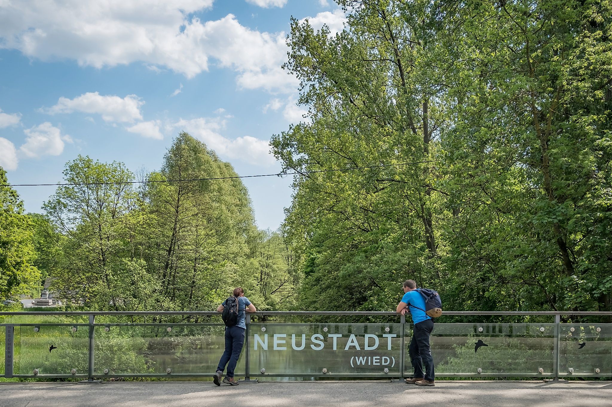
From the entrance to Oberlahr I cross the Wied and follow the Brucher Straße about 200 meters to the right. Then I turn right again onto the path "Am Lahrbach", which I leave after about 200 meters and walk left, parallel to the Wied, through the wooded area of the Rhine-Westerwald Nature Park. After one kilometer I follow the forest road 200 meters to the left and turn right onto a nature trail. This makes a bend and then runs about 2.1 kilometers again parallel to the Wied. At the Kur-Kölner-Straße I turn left and immediately left again on the Jägerpfad for about 200 meters along a small residential area. Then I turn left onto the forest road into the forest and walk 100 meters slightly uphill before I make a right turn and follow the nature trail for 400 meters. I go to the right and after 200 meters to the left. After 300 meters I turn right onto a gravel path and follow it for 400 meters before turning left onto a 400 meter trail. It is still uphill, but at the end of the path I walk about 700 meters begrab to Peterlahr and leave the Fauna-Flora-Habitat area rock valleys of the Wied. In the residential area I change to the right into the street "Auf dem Heidstock" and follow it to the street "Im Allen". I pass the church and after about 500 meters I turn into the Wiedtalstraße. After 100 meters I turn left into the street "Im Auenweg" and follow the Wiedweg immediately to the right past the village until I reach the Fauna-Flora-Habitat area Felsentäler der Wied again after about 500 meters. I walk in the direction of the Wied, cross the Wiedtalstraße and keep left, through the forest and parallel to the river. After about 1.8 kilometers I am in the middle of Mettelshahn and treat myself to a rest in the inn. Then I follow the Wiedweg to the forest as well as 100 meters through and slightly uphill until I come across the Westerwaldsteig. I go to the right and after 300 meters again to the right as well as 400 meters out of the forest. Then I walk to the right on a natural path again into the forest and uphill until I see the telegraph and then the Bertenauer Kopf. Shortly before Obereilenberg I reach the L270 and turn right towards Eilenberg. The Wiedweg leads through the village onto Ehrensteiner Straße and then onto Weidenstraße. At the end of the village I go left until I meet the Westerwaldsteig after 900 meters. I go right, immediately right again and then left across the Wied. On the other side I follow a nature trail parallel to the Wied to the left and after about 500 meters I reach my destination, the church square of Neustadt.
Wear sturdy shoes and appropriate clothing that is suitable for the weather and protects you from the cold and wet or the heat and sun.
Take enough liquid with you. There are not refreshment stops everywhere.
Please wear appropriate hiking shoes on the way, which give you enough grip even on slippery and steep or rocky and uneven paths.
If you are of the opinion that certain sections of the trail are not passable for you, then you should avoid them. Especially in adverse weather conditions, muddy and slippery passages can occur on natural trails.
Especially in the fall, also be aware that leaves lying on the ground can hide bumps, roots, rocks or holes in the path. You should expect trail obstructions of this nature when you go on a hike.
Although the trail is very well marked throughout, you should always have a suitable trail map with you for safety reasons.
Not suitable for strollers
Not suitable for wheelchair users
Sturdy shoes recommended!
In der Kirchwiese, 53577 Neustadt (Wied)
Bruchermühle, Raiffeisenstraße 1, 57641 Oberlahr
More information & GPX download
Notice
In the tour planner we inform you under the tab "Current info" about temporary route changes, closures and detours.
To the Tour Planer