Hiking Trail
Route profile
Notice
In the tour planner we inform you under the tab "Current info" about temporary route changes, closures and detours.
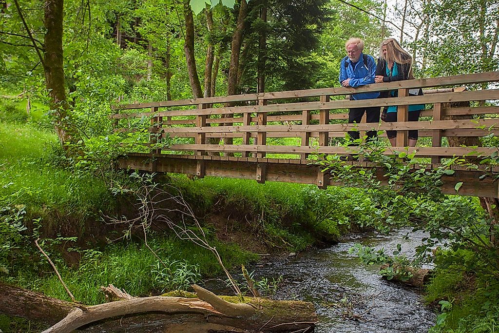
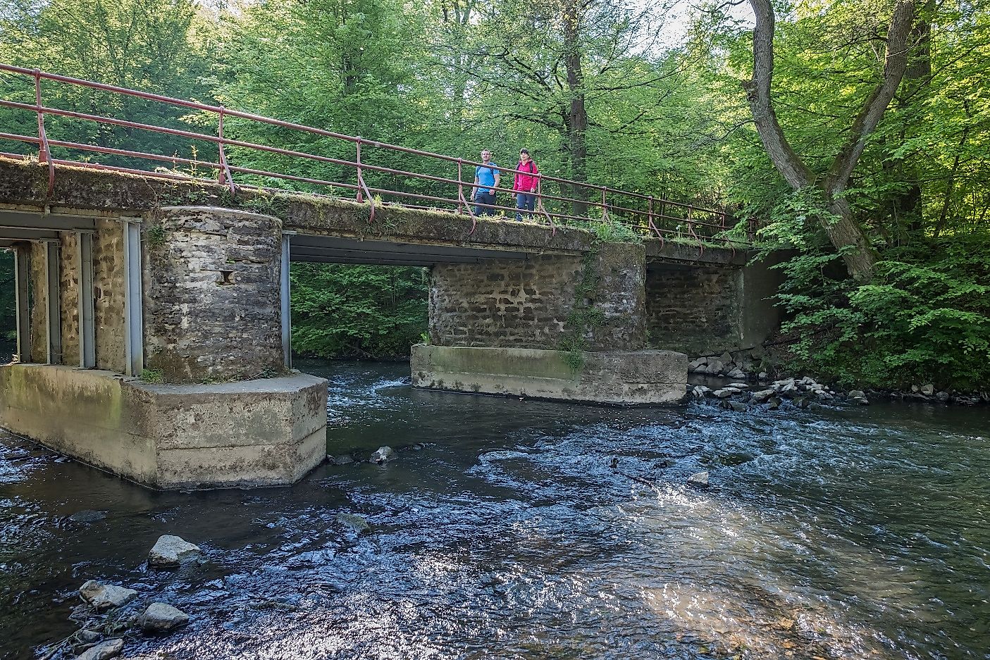
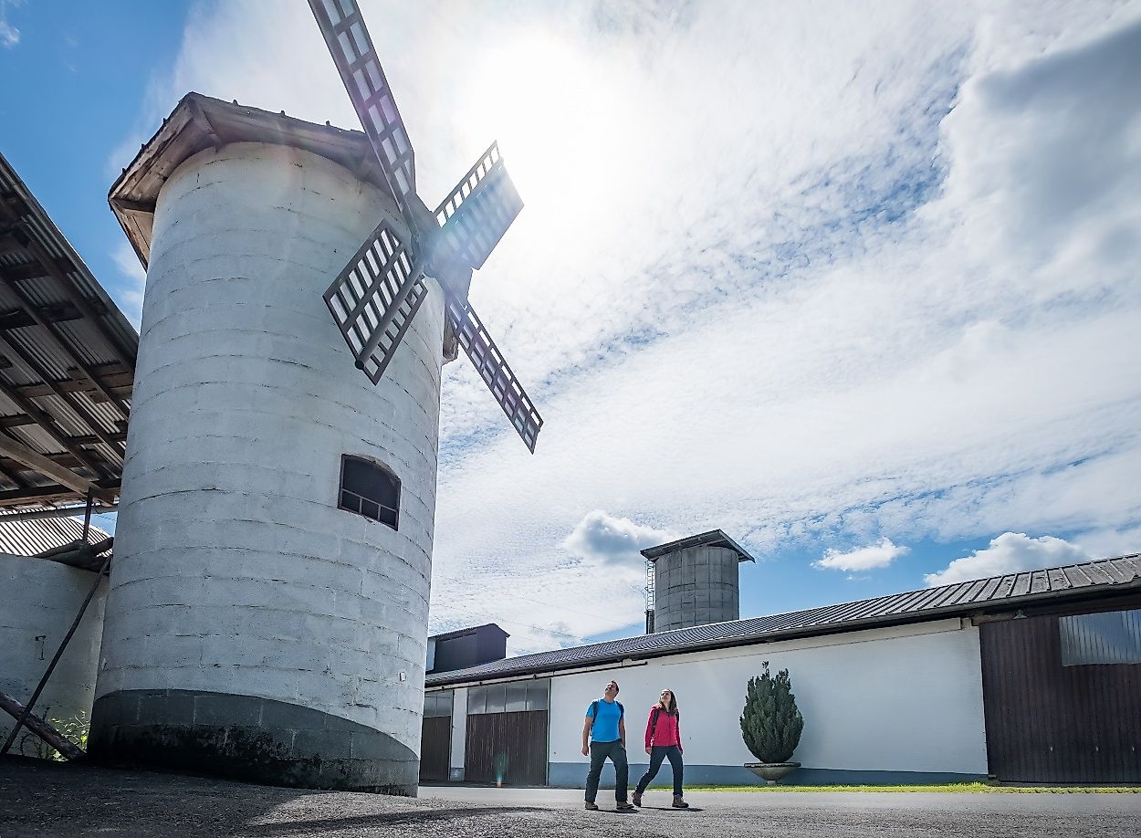
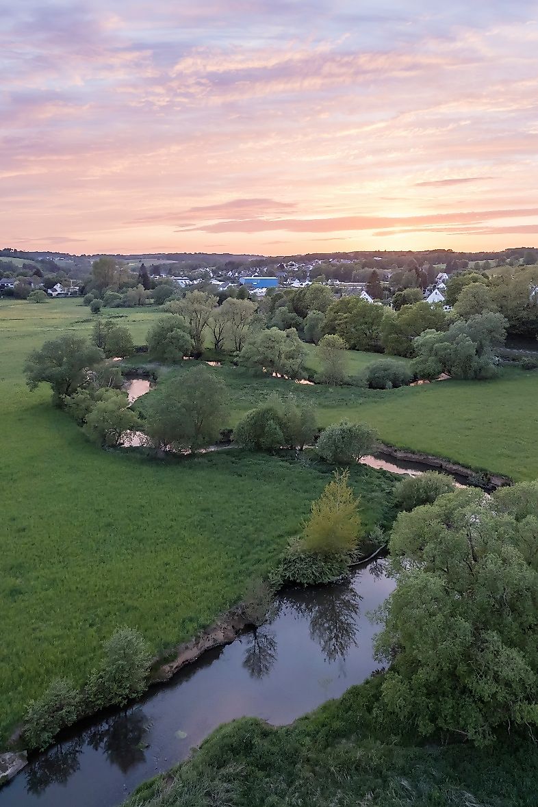
To the Tour PlanerI enjoy the varied hike through the Rhine-Westerwald Nature Park and the alternation between lush meadows directly on the river and cooling forests on the ridges. On the way, I pass the Obernauer Kopf (265 m) into Raiffeisenland, named after the famous social reformer Friedrich Wilhelm Raiffeisen, who founded the cooperative idea here during his lifetime. Passing Seelbach and Seifen, the route continues to Döttesfeld, where the Holzbach, the largest tributary, flows into the Wied. At the rushing Holzbach, a Kneipp water treading facility has been set up directly in the stream - a refreshment that tired hikers' feet will enjoy. The neighboring barefoot path also promises a welcome change. An interesting extra of this tour is the 12th century basilica in Almersbach at the beginning. It welcomes me with a great location on a protruding ridge above the Wiedtal in the center of old trees and with amazing, well-preserved fresco paintings. At the stage destination Oberlahr I find not only beautiful half-timbered houses, but also the imposing parish church of St. Antonius on the village square.
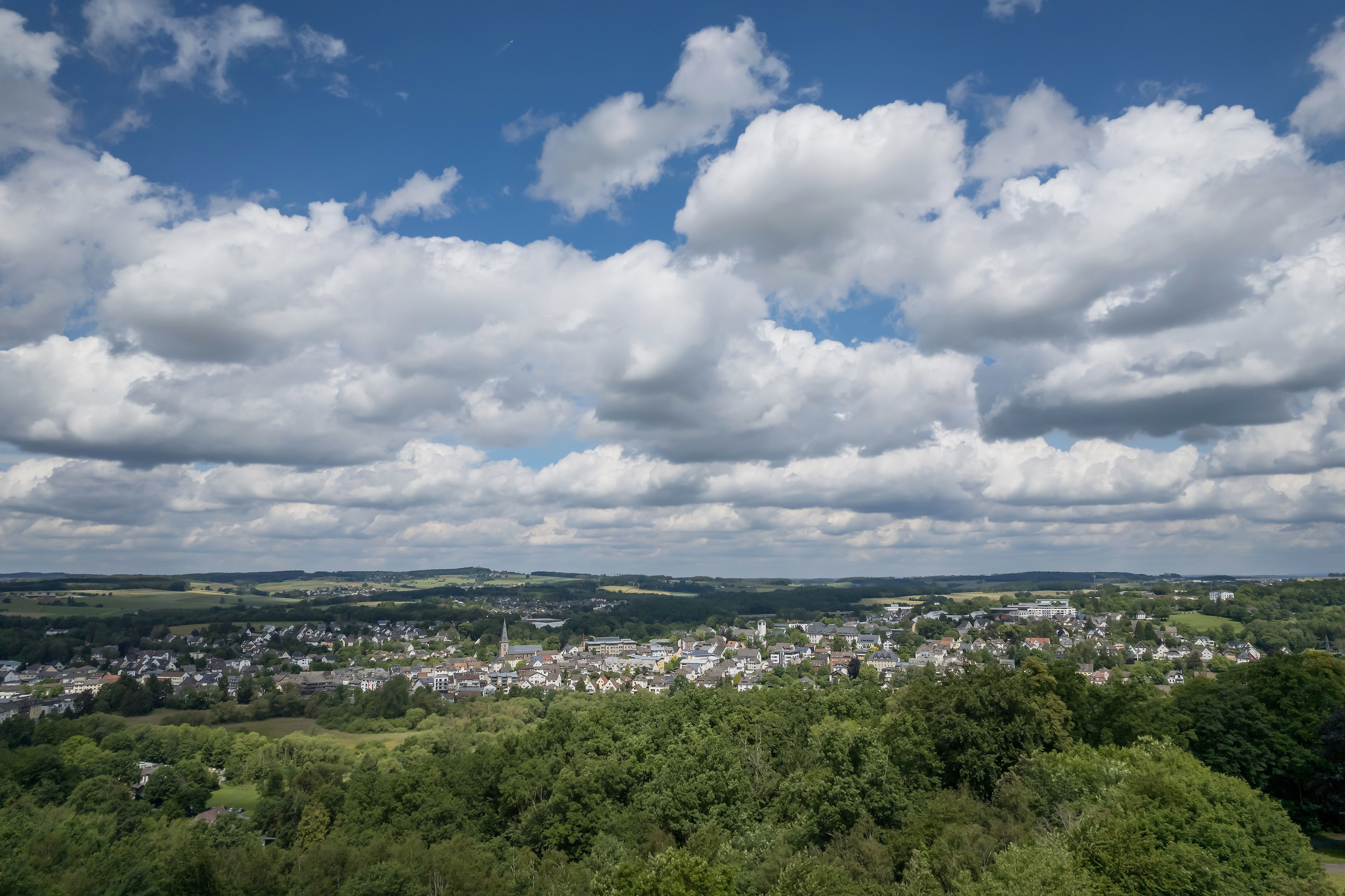
Raiffeisenland - the cradle of cooperatives according to F.W. Raiffeisen and the natural Wiedtal with its romantic river loops.
Via the A3 to the Neuwied exit and via the B 256 to Altenkirchen-Leuzbach or Oberlahr
Train from Cologne via Au (Sieg) station to Altenkirchen station.
Train from Limburg direction direct connection to Altenkirchen station.
Round trip between Oberlahr (Bürdenbach-Bruch) and Altenkirchen with bus line 120.
www.bahn.de | ww.vrm.info
Altenkirchen: free P+R parking lot at Altenkirchen train station, access road markings available or free parking at the Kirchstraße hikers' parking lot in Almersbach.
Oberlahr: Hotel Westerwald-Treff, In der Huth 1, 57641 Oberlahr (free of charge)
I start my hike at Kirchweg, where I marvel at the basilica as I pass. After the cemetery I turn right onto a path and cross the Wied. Shortly before Almersbacher Straße at the entrance to Leuzbach, I turn left and follow a 2.3-kilometer nature trail, past Berghausen and along the Wied for a bit until shortly before Niederölfen. There I turn left, cross the river again and walk about 300 meters to Schöneberg, past the country inn Dorfkrug and the cemetery and then turn right towards the forest. After 300 meters I follow a gravel path and then turn left into the forest. Now my path leads me about 1.1 kilometers uphill to the state forest Altenkirchen. At the top I go downhill to the right for about 400 meters and then to the left for about one kilometer mostly along the edge of the forest. I turn left and see the Höchesberg in front of me and the Oberauer Kopf to my right. After another 400 meters downhill and parallel to the Wied, I follow a gravel path 400 meters to Berzhausen. At Brunnenweg I turn left and walk along Schulstraße until I reach the main road. I follow this to the right and then leave it again to the left. After 200 meters I reach the forest and walk to the Wied. Shortly before the railroad tracks I turn left and follow the course of the river for about 700 meters to the street "Am Sportplatz" in Bettgenhausen. There I turn right and after 200 meters left. After about 700 meters along the edge of the forest I turn right towards Seyen. At the street "Zum Wiesengrund" I turn right until I reach Tannenstraße and turn right again to leave the village. I am now in the Rhein-Westerwald Nature Park and follow a nature trail before turning left after 400 meters and walking another 400 meters through the forest. At the railroad tracks of the Holzbachtal line, I turn left and walk 800 meters parallel to the Wied River along the forest. After 300 meters through a residential area I turn left and shortly after the last houses turn right into the forest. The nature trail leads me in a curve after about 700 meters back to the Wied and I walk 900 meters parallel to the river before I cross it in Döttesfeld and walk for one and a half kilometers on the other side to the left. I meet the L269 and follow it for 100 meters, cross the Wied and turn right immediately after. Another 900 meters I walk more or less parallel to the river and through a wooded area. At the Bruchermühle I cross the B 256. Before the next Wied bridge the path leads me to the left and a little later right into the small street "Am Lahrbach". Up to the forest road of Oberlahr I run now, without noticing it, on the former railroad line to Linz.
Wear sturdy shoes and appropriate clothing that is suitable for the weather and protects you from the cold and wet or the heat and sun.
Take enough liquid with you. There are not refreshment stops everywhere.
Please wear appropriate hiking shoes on the way, which give you enough grip even on slippery and steep or rocky and uneven paths.
If you are of the opinion that certain sections of the trail are not passable for you, then you should avoid them. Especially in adverse weather conditions, muddy and slippery passages can occur on natural trails.
Especially in the fall, also be aware that leaves lying on the ground can hide bumps, roots, rocks or holes in the path. You should expect trail obstructions of this nature when you go on a hike.
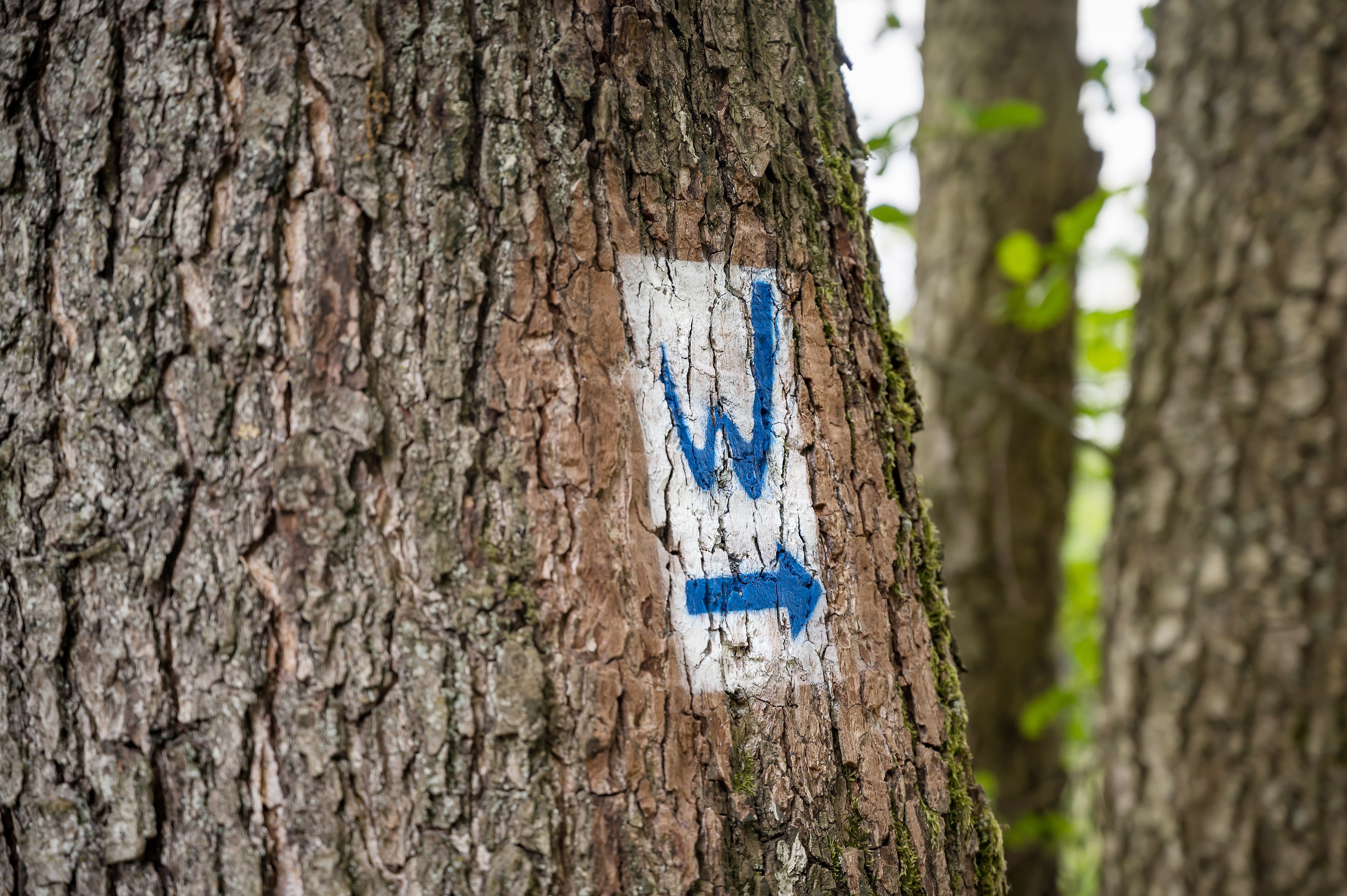
Although the trail is very well marked throughout, you should always have a suitable trail map with you for safety reasons.
Not suitable for strollers
Not suitable for wheelchair users
Sturdy shoes recommended!
Bruchermühle, Raiffeisenstraße 1, 57641 Oberlahr
Kirchweg, 57610 Almersbach/ Altenkirchen (AK)
More information & GPX download
Notice
In the tour planner we inform you under the tab "Current info" about temporary route changes, closures and detours.
To the Tour Planer