Hiking Trail
Route profile
Notice
In the tour planner we inform you under the tab "Current info" about temporary route changes, closures and detours.
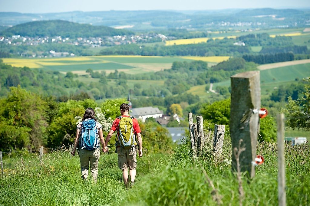
To the Tour PlanerThe tour through the wooded and meadowy Stelzenbach valley near Montabaur offers pure nature. I start at the Hollerer Straße hikers' car park in Niederelbert. The next destination is the "Steinkaut" vantage point with its wide steps. In the forest, I learn a lot about the forest habitat on the bio-trail. Then I reach the Wolfskirchhof. The last wolf in the Westerwald was killed here in 1886. Mixed forest and wide fields follow. A trail takes me to Dielkopf. Behind Welschneudorf, I walk through a semi-open pasture landscape, later with fish ponds on the right. A small access path takes me to Oberelbert. I then walk past the Forellenhof and through the Stelzenbach valley into the forest. I walk uphill and stand below the "Rötchen" at the highest point of the path. Here is the wonderful wayside shrine "Maria Hilf" and in good weather I can see as far as the Taunus. The path leads me downhill from the "Hähnchen" hill to Niederelbert. The church is my last stop before I reach the hikers' car park.
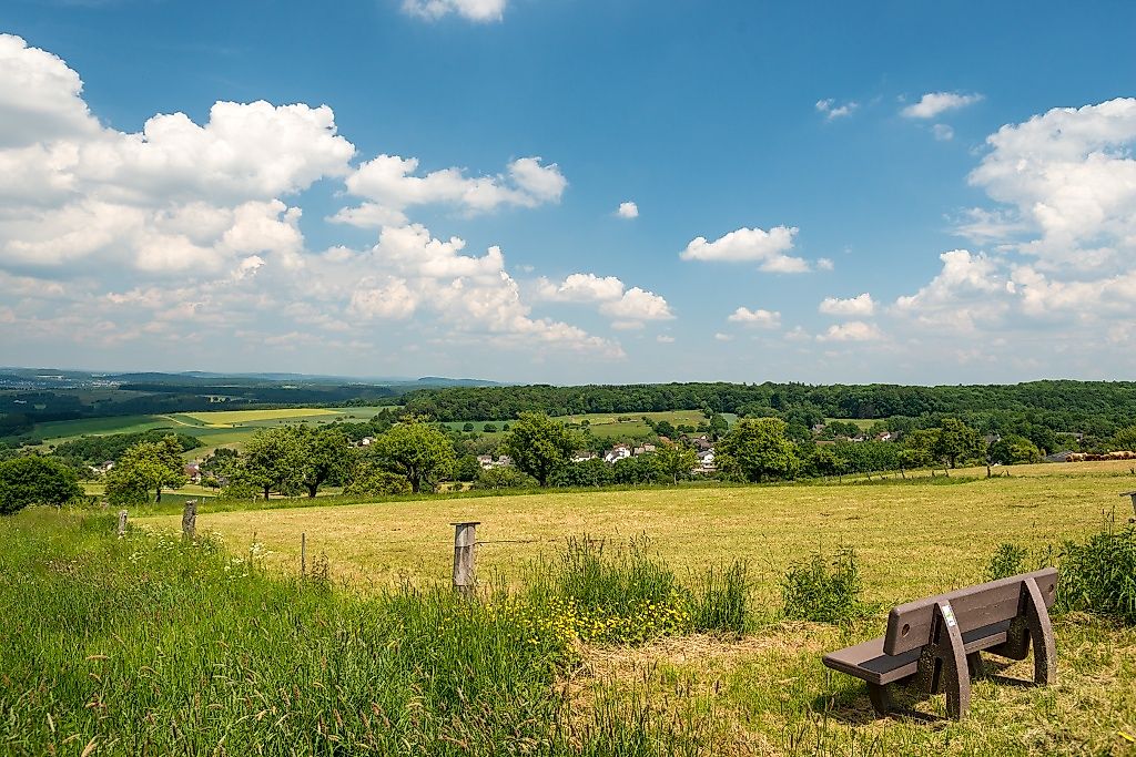
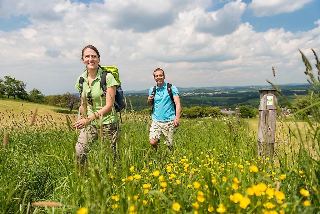
The Wäller Tour Elberthöhen promises fabulous views over a total of 16 kilometers around Niederelbert, Oberelbert and Welschneudorf.
From Montabaur via the L168, from Welschneudorf via the L327 to Niederelbert.
By train to ICE station Montabaur and then by bus line 456 to Niederelbert ; exit Niederelbert Rathaus. Start of the Wällertour at the Niederelbert hiking parking lot;Return from Niederelbert, Oberelbert and Welschneudorf to Montabaur also with bus line 456.
Directly on the hiking parking lot.
Almost 16 km long is the Wäller Tour over the Elbe heights, which runs from Niederelbert via Welschneudorf and Oberelbert. The trail offers a lot of variety and great views on all sides - in good weather even up to the Feldberg.After starting in the award-winning village of Niederelbert, the trail leads mainly through forest areas. Welschneudorf offers different possibilities to stop for lunch. The trail continues over beautiful meadows, along the brook and between fish ponds to the heights "Röthchen" and "Hähnchen", which offer further fantastic views.For enjoyment, the hiker will find numerous resting places along the way.
In the winter months, the quality of the path may be impaired due to wood clearing work on individual sections of the path.
NEW from September 2019: The almost 10 km long hiking trail Wäller Schnippel connects the Wäller tours Augst and Elberthöhen
Hiking map-Leporello Wäller Touren, GPS-accurate hiking map with excursion destinations, refreshment & leisure tips, street names and elevation profiles, map size (W x H): 20 map pages à 18 x 20 cm, 9 red. Pages, 6,95 € - You can get the hiking map and the hiking book in the Westerwald-Shop at www.westerwald-shop.info!
Hiking parking lot between Hollerer Straße and Kirchstraße in 56412 Niederelbert
Hiking parking lot between Hollerer Straße and Kirchstraße in 56412 Niederelbert
More information & GPX download
Notice
In the tour planner we inform you under the tab "Current info" about temporary route changes, closures and detours.
To the Tour Planer