Hiking Trail
Route profile
Notice
In the tour planner we inform you under the tab "Current info" about temporary route changes, closures and detours.
To the Tour Planer


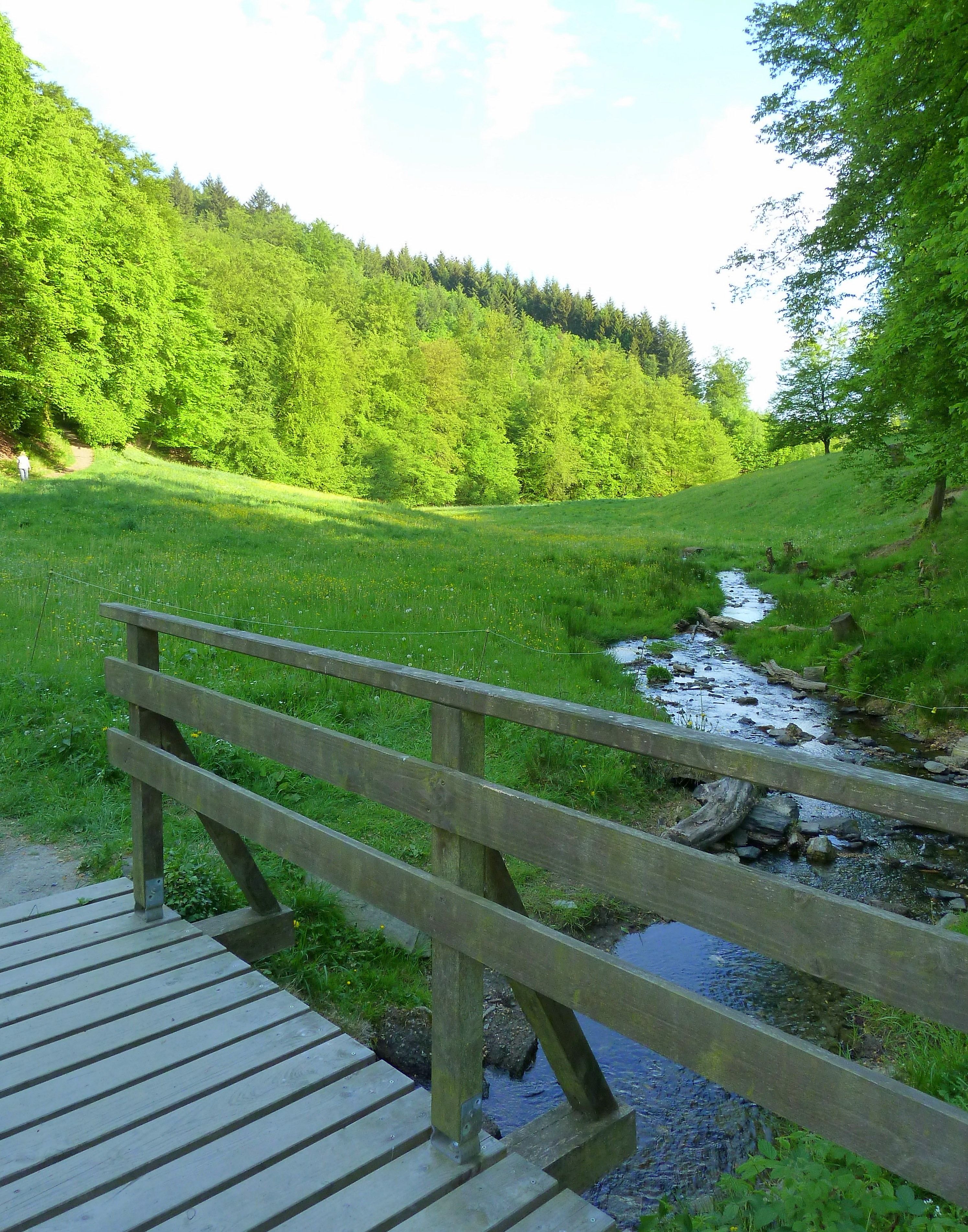


Enjoyable hiking on the Klosterweg, in the idyllic Laubach Valley and on local circular routes. In the spa park we can refresh ourselves in the Kneipp facility and the Laubach waterfall is also wonderfully suitable for cooling the feet after a long walk. Wide views of the Wiedtal and the Rengsdorfer heights even as far as the Eifel make this hike so attractive. At the end of the path, the Rengsdorf open-air pool attracts with 23 degrees warm mineralized spring water!
The "Rengsdorfer Panoramaweg" shows itself - partly situated on the premium hiking trail and the Wäller Tour Klosterweg as well as on the Rheinsteig - from its most beautiful side. Not only does it cross a beautiful landscape with idyllic brook valleys and charming paths, it is above all the fantastic panoramic views of the Wiedtal, the Eifel and the Rhine Valley that make up the special charm of this adventure loop.
From the A3 (exit Neuwied) via the B256 to the center of Rengsdorf, turn into Friedrich-Ebert-Straße at the Sparkasse. At the end of the village in the direction of Hardert, the parking lot for hikers is located on the right side next to the St. Kastor chapel.
Public transport line 101 Neuwied-Rengsdorf-Ehlscheid-Bonefeld
www.vrminfo.de
Parking at the starting point at the St. Kastor chapel in the Friedrich-Ebert-Straße in Rengsdorf.
Further parking possibilities behind the association municipality administration Rengsdorf, Westerwaldstraße 32-34.
We start in Rengsdorf, right next to the St. Kastor Chapel in Friedrich-Ebert-Straße, and first follow the parallel Rhine path via the Rosenberg spa gardens to the natural monument Römergraben. Above the Grillhütte we keep to the right and follow the signs to the newly built pedestrian bridge over the B256. Now we follow the Klosterweg down into the idyllic Laubach valley and past the Laubachswinkel refuge up to Ehlscheid. Once there, we cross the well-kept spa gardens with Kneipp facilities. A gastronomy geared to hikers is happy to welcome hiking guests.
Here we leave the Klosterweg and turn left onto the E3 hiking trail and walk about 6 km down into the Laubach valley to the Almblick viewpoint. During a rest we enjoy a wide view of the Wiedtal and the forest slopes opposite. Via the R1 and Me1 hiking trail we now pass the waterfall and ascend to the Elisabethhöhe refuge and enjoy great views and narrow paths above Melsbach on the Me1. Under the Wallbach bridge we follow the Rheinsteig access path up to the Rengsdorfer heights and the so-called "Westerwald-Balkon". Here we enjoy the magnificent view far into the Eifel and from the Jonashütte we start again on the Rheinsteig. The next view is provided by the rocky outcrop and the "Nonnenley" refuge above the Engelsbach Valley, until we return to the starting point in the direction of Völkerwiesenbach past the Rengsdorf open-air swimming pool and the mineral spring.
Do your laps in the Rengsdorf outdoor pool with 23 degrees warm mineralized spring water from the fountain of the Auquelle in Luisental!
Parking at the St. Kastor Chapel in Rengsdorf, Friedrich-Ebert-Straße
Parking at the St. Kastor Chapel in Rengsdorf, Friedrich-Ebert-Straße
More information & GPX download
Notice
In the tour planner we inform you under the tab "Current info" about temporary route changes, closures and detours.
To the Tour Planer